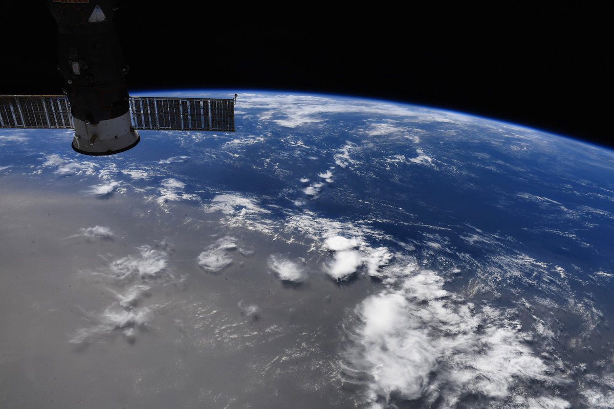
The "Godzilla" dust cloud from the Sahara heading towards the southeastern U.S. is one of the biggest recorded for 50 years. The cloud is expected to bring beautiful sunsets to states including Florida, Texas and Louisiana.
The plume, which is believed to be the thickest in decades, has now reached the Caribbean Sea. According to the Associated Press, experts have nicknamed the plume "Godzilla," with Pablo Méndez Lázaro, from the School of Public Health at the University of Puerto Rico, telling the agency: "This is the most significant event in the past 50 years. Conditions are dangerous in many Caribbean islands.
On Friday, Dan Kottlowski, AccuWeather senior meteorologist and lead hurricane expert, told the website: "According to scientists that I have gotten some information from, they're saying this is an abnormally large dust cloud. One of the things I noticed from this is the dust started coming off the coast of Africa several days ago, in fact maybe over a week ago. And it's still coming. It's almost like a prolonged area of dust."
The NASA Earth Observatory said the thickest part of the plume appears to stretch around 1,500 miles across the Atlantic. The plume appears every year and is the result of atmospheric conditions in the Sahara desert, Africa, at this time of year. The Saharan Air Layer forms over the desert between spring and fall, forming a layer around two miles thick. It moves across the Atlantic towards the U.S., slowly dissipating. Depending on its strength, dust particles from the plume can reach the U.S.

